
Rotlech topographic map
Interactive map
Click on the map to display elevation.
About this map
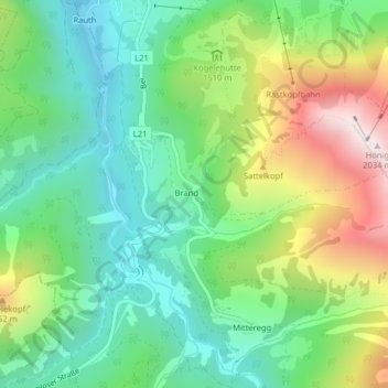
Name: Rotlech topographic map, elevation, terrain.
Location: Rotlech, Berwang, Reutte (Außerfern), Tirol, 6622, Österreich (47.39027 10.72287 47.39035 10.72299)
Average elevation: 4,747 ft
Minimum elevation: 3,773 ft
Maximum elevation: 6,637 ft