
Pallam topographic map
Interactive map
Click on the map to display elevation.
About this map
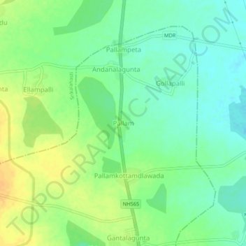
Name: Pallam topographic map, elevation, terrain.
Location: Pallam, Yerpedu, Tirupati, Andhra Pradesh, 517620, India (13.80404 79.56503 13.84404 79.60503)
Average elevation: 266 ft
Minimum elevation: 223 ft
Maximum elevation: 315 ft
Other topographic maps
Click on a map to view its topography, its elevation and its terrain.
Chindepalle
India > Andhra Pradesh > Yerpedu
Chindepalle, Yerpedu, Tirupati, Andhra Pradesh, 517619, India
Average elevation: 262 ft