
张营街道 topographic map
Interactive map
Click on the map to display elevation.
About this map
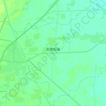
Name: 张营街道 topographic map, elevation, terrain.
Location: 张营街道, 郓城县, 菏泽市, 山东省, 中国 (35.54610 115.99743 35.65473 116.13069)
Average elevation: 138 ft
Minimum elevation: 125 ft
Maximum elevation: 157 ft
Other topographic maps
Click on a map to view its topography, its elevation and its terrain.