
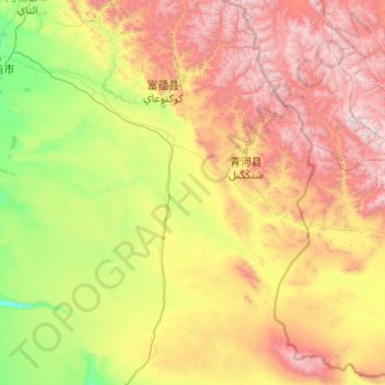
吐尔洪乡 topographic map
Interactive map
Click on the map to display elevation.
About this map
Name: 吐尔洪乡 topographic map, elevation, terrain.
Location: 吐尔洪乡, 富蕴县, 阿勒泰地区, 新疆维吾尔自治区, 836100, 中国 (45.00001 88.70868 47.72599 90.52031)
Average elevation: 4,613 ft
Minimum elevation: 1,394 ft
Maximum elevation: 13,360 ft
Other topographic maps
Click on a map to view its topography, its elevation and its terrain.