
El Refugio topographic map
Interactive map
Click on the map to display elevation.
About this map
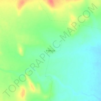
Name: El Refugio topographic map, elevation, terrain.
Location: El Refugio, Mapimí, Durango, México (26.34257 -104.47003 26.38257 -104.43003)
Average elevation: 4,409 ft
Minimum elevation: 4,341 ft
Maximum elevation: 4,524 ft