
Cangas topographic map
Interactive map
Click on the map to display elevation.
About this map
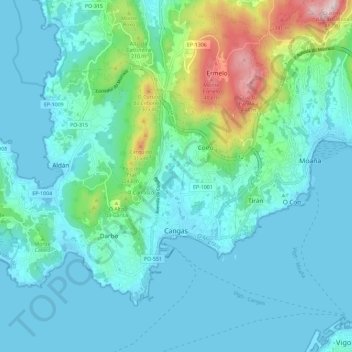
Name: Cangas topographic map, elevation, terrain.
Location: Cangas, O Morrazo, Pontevedra, Galizia, Spagna (42.24599 -8.87393 42.30981 -8.75874)
Average elevation: 266 ft
Minimum elevation: -3 ft
Maximum elevation: 1,581 ft