
Athena topographic map
Interactive map
Click on the map to display elevation.
About this map
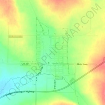
Name: Athena topographic map, elevation, terrain.
Location: Athena, Umatilla County, Oregon, USA (45.80540 -118.50648 45.82381 -118.48317)
Average elevation: 1,762 ft
Minimum elevation: 1,660 ft
Maximum elevation: 1,864 ft