
Lac Larivée topographic map
Interactive map
Click on the map to display elevation.
About this map
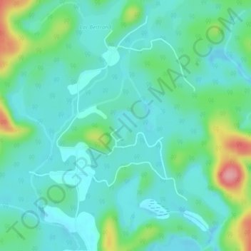
Name: Lac Larivée topographic map, elevation, terrain.
Location: Lac Larivée, Bowman, Papineau, Outaouais, Québec, Canada (45.96388 -75.62981 45.96700 -75.62634)
Average elevation: 748 ft
Minimum elevation: 656 ft
Maximum elevation: 1,047 ft
Other topographic maps
Click on a map to view its topography, its elevation and its terrain.
Lac Samlock
Canada > Québec > Papineau > Bowman
Lac Samlock, Bowman, Papineau, Outaouais, Québec, Canada
Average elevation: 922 ft