
窝堡 topographic map
Interactive map
Click on the map to display elevation.
About this map
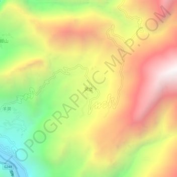
Name: 窝堡 topographic map, elevation, terrain.
Location: 窝堡, 冕宁县, 凉山彝族自治州, 四川省, 615600, 中国 (28.60981 101.93655 28.64981 101.97655)
Average elevation: 8,031 ft
Minimum elevation: 4,800 ft
Maximum elevation: 11,066 ft
Other topographic maps
Click on a map to view its topography, its elevation and its terrain.