
Nagarahole topographic map
Interactive map
Click on the map to display elevation.
About this map
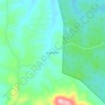
Name: Nagarahole topographic map, elevation, terrain.
Location: Nagarahole, Virajpet taluk, Kodagu, Karnataka, India (11.97308 76.04794 12.01308 76.08794)
Average elevation: 2,900 ft
Minimum elevation: 2,713 ft
Maximum elevation: 3,510 ft