
Lac du Coiroux topographic map
Interactive map
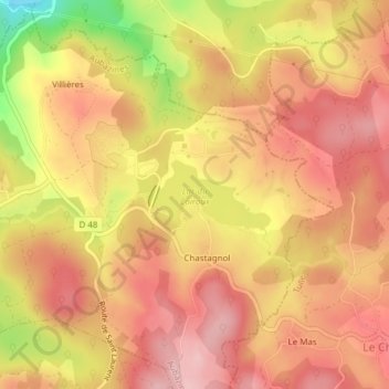
Click on the map to display elevation.
About this map
Name: Lac du Coiroux topographic map, elevation, terrain.
Average elevation: 1,509 ft
Minimum elevation: 1,115 ft
Maximum elevation: 1,703 ft
Other topographic maps
Click on a map to view its topography, its elevation and its terrain.
Centre Touristique du Coiroux
France > Nouvelle-Aquitaine > Corrèze > Aubazines > Chastagnol
Centre Touristique du Coiroux, Chastagnol, Aubazines, Brive-la-Gaillarde, Corrèze, Nouvelle-Aquitaine, France métropolitaine, 19190, France
Average elevation: 1,496 ft