
Montfricon topographic map
Interactive map
Click on the map to display elevation.
About this map
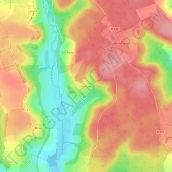
Name: Montfricon topographic map, elevation, terrain.
Average elevation: 1,083 ft
Minimum elevation: 853 ft
Maximum elevation: 1,237 ft
Other topographic maps
Click on a map to view its topography, its elevation and its terrain.
Grosse-Sauve
France > Grand Est > Haute-Marne > Les Loges
Grosse-Sauve, Les Loges, Langres, Haute-Marne, Grand Est, France métropolitaine, 52500, France
Average elevation: 1,079 ft