
Griethausen topographic map
Interactive map
Click on the map to display elevation.
About this map
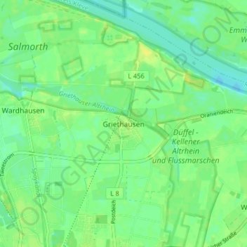
Name: Griethausen topographic map, elevation, terrain.
Average elevation: 49 ft
Minimum elevation: 23 ft
Maximum elevation: 72 ft
Other topographic maps
Click on a map to view its topography, its elevation and its terrain.
Kleef
Duitsland > Noordrijn-Westfalen > Kleef > Kleef
Kleef, Noordrijn-Westfalen, 47533, Duitsland
Average elevation: 128 ft
Donsbrüggen
Duitsland > Noordrijn-Westfalen > Kleef > Kleef
Donsbrüggen, Kleef, Bedburg-Hau, Kleef, Noordrijn-Westfalen, 47533, Duitsland
Average elevation: 95 ft