
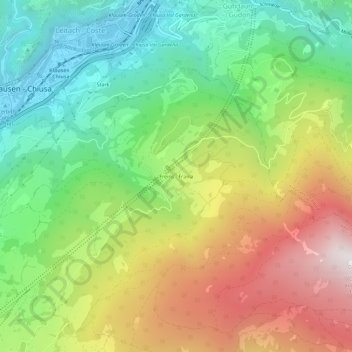
Freins topographic map
Interactive map
Click on the map to display elevation.
About this map
Name: Freins topographic map, elevation, terrain.
Average elevation: 3,524 ft
Minimum elevation: 1,703 ft
Maximum elevation: 6,138 ft
Other topographic maps
Click on a map to view its topography, its elevation and its terrain.
Lajen
Italien > Trentino-Südtirol > Bozen > Lajen
Lajen, Eisacktal, Bozen, Trentino-Südtirol, Italien
Average elevation: 3,497 ft