
Les Côtes-de-Corps topographic map
Interactive map
Click on the map to display elevation.
About this map
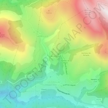
Name: Les Côtes-de-Corps topographic map, elevation, terrain.
Average elevation: 3,963 ft
Minimum elevation: 2,182 ft
Maximum elevation: 6,496 ft