
西闸水村 topographic map
Interactive map
Click on the map to display elevation.
About this map
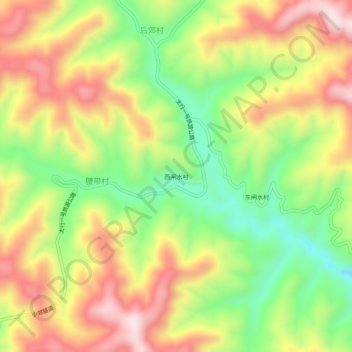
Name: 西闸水村 topographic map, elevation, terrain.
Location: 西闸水村, 陵川县, 晋城市, 山西省, 中国 (35.66357 113.40976 35.70357 113.44976)
Average elevation: 4,301 ft
Minimum elevation: 3,593 ft
Maximum elevation: 5,026 ft