
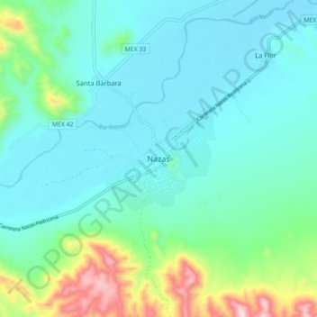
Nazas topographic map
Interactive map
Click on the map to display elevation.
About this map
Name: Nazas topographic map, elevation, terrain.
Location: Nazas, Durango, México (25.18459 -104.15266 25.26459 -104.07266)
Average elevation: 4,406 ft
Minimum elevation: 4,032 ft
Maximum elevation: 5,879 ft