
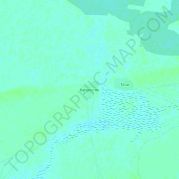
Kangourou topographic map
Interactive map
Click on the map to display elevation.
About this map
Name: Kangourou topographic map, elevation, terrain.
Location: Kangourou, Cercle de Youwarou, Mopti, Mali (15.37306 -4.42483 15.41306 -4.38483)
Average elevation: 866 ft
Minimum elevation: 856 ft
Maximum elevation: 876 ft