
东亭镇 topographic map
Interactive map
Click on the map to display elevation.
About this map
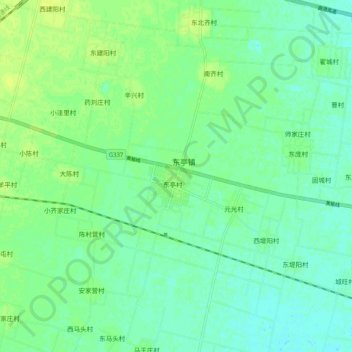
Name: 东亭镇 topographic map, elevation, terrain.
Location: 东亭镇, 定州市, 保定市, Hebei, RPC (38.43706 115.08793 38.51706 115.16793)
Average elevation: 144 ft
Minimum elevation: 125 ft
Maximum elevation: 167 ft