
Golden Gate Highlands National Park topographic map
Interactive map
Click on the map to display elevation.
About this map
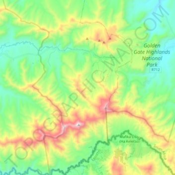
Name: Golden Gate Highlands National Park topographic map, elevation, terrain.
Average elevation: 6,775 ft
Minimum elevation: 5,568 ft
Maximum elevation: 9,249 ft