
麒麟镇 topographic map
Interactive map
Click on the map to display elevation.
About this map
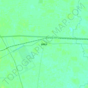
Name: 麒麟镇 topographic map, elevation, terrain.
Location: 麒麟镇, 菏泽市, 山东省, 中国 (35.35355 116.13302 35.43355 116.21302)
Average elevation: 128 ft
Minimum elevation: 115 ft
Maximum elevation: 141 ft