
Mortara topographic map
Interactive map
Click on the map to display elevation.
About this map
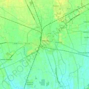
Name: Mortara topographic map, elevation, terrain.
Location: Mortara, Pavia, Lombardia, 27036, Italia (45.20792 8.69638 45.28792 8.77638)
Average elevation: 354 ft
Minimum elevation: 328 ft
Maximum elevation: 387 ft