
太姥山镇 topographic map
Interactive map
Click on the map to display elevation.
About this map
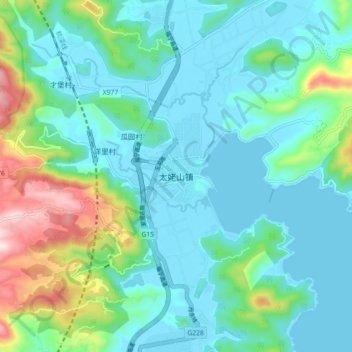
Name: 太姥山镇 topographic map, elevation, terrain.
Location: 太姥山镇, 福鼎市, 宁德市, 福建省, 中国 (27.06418 120.20811 27.14418 120.28811)
Average elevation: 322 ft
Minimum elevation: -3 ft
Maximum elevation: 1,532 ft