
河辺和田字上中野 topographic map
Interactive map
Click on the map to display elevation.
About this map
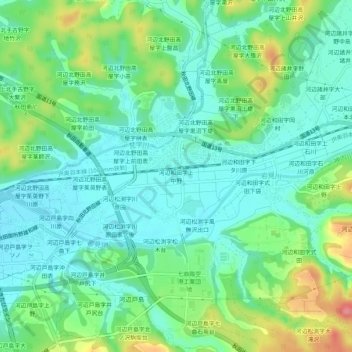
Name: 河辺和田字上中野 topographic map, elevation, terrain.
Location: 河辺和田字上中野, Akita, Akita Prefecture, 019-2611, Japan (39.62984 140.19723 39.66984 140.23723)
Average elevation: 125 ft
Minimum elevation: 33 ft
Maximum elevation: 344 ft
Other topographic maps
Click on a map to view its topography, its elevation and its terrain.