
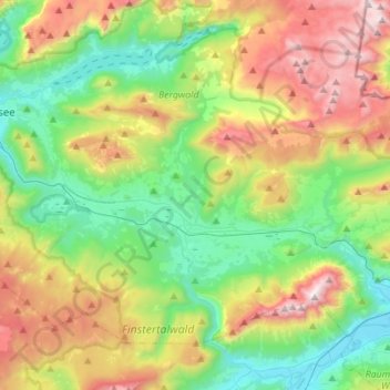
Bad Mitterndorf topographic map
Interactive map
Click on the map to display elevation.
About this map
Name: Bad Mitterndorf topographic map, elevation, terrain.
Location: Bad Mitterndorf, Bezirk Liezen, Steiermark, 8983, Österreich (47.49810 13.78468 47.64083 14.06202)
Average elevation: 4,042 ft
Minimum elevation: 2,100 ft
Maximum elevation: 7,651 ft