
Biggenden topographic map
Interactive map
Click on the map to display elevation.
About this map
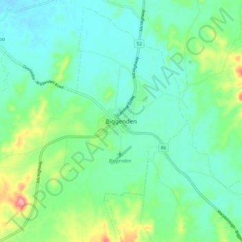
Name: Biggenden topographic map, elevation, terrain.
Location: Biggenden, Queensland, 4621, Australia (-25.55050 152.00580 -25.47050 152.08580)
Average elevation: 407 ft
Minimum elevation: 308 ft
Maximum elevation: 699 ft