
Ivujivik (village) topographic map
Interactive map
Click on the map to display elevation.
About this map
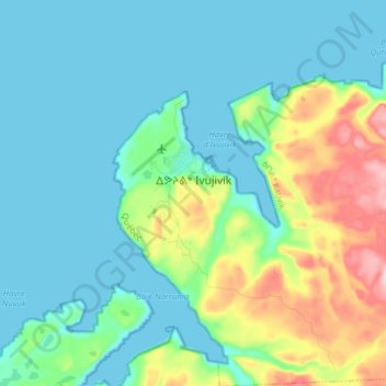
Name: Ivujivik (village) topographic map, elevation, terrain.
Location: Ivujivik (village), Kativik, Nord-du-Québec, Québec, Canada (62.37424 -77.94185 62.44642 -77.80203)
Average elevation: 131 ft
Minimum elevation: 0 ft
Maximum elevation: 581 ft