
登州路街道 topographic map
Interactive map
Click on the map to display elevation.
About this map
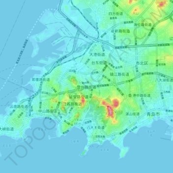
Name: 登州路街道 topographic map, elevation, terrain.
Location: 登州路街道, Qingdao, Shandong, 266023, China (36.03629 120.30003 36.11629 120.38003)
Average elevation: 52 ft
Minimum elevation: -7 ft
Maximum elevation: 466 ft