
华山镇 topographic map
Interactive map
Click on the map to display elevation.
About this map
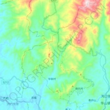
Name: 华山镇 topographic map, elevation, terrain.
Location: 华山镇, 黎川县, 抚州市, 江西省, 中国 (27.40965 116.94179 27.51706 117.08733)
Average elevation: 1,053 ft
Minimum elevation: 312 ft
Maximum elevation: 3,517 ft
Other topographic maps
Click on a map to view its topography, its elevation and its terrain.