
Biri Larosa Protected Landscape and Seascape topographic map
Interactive map
Click on the map to display elevation.
About this map
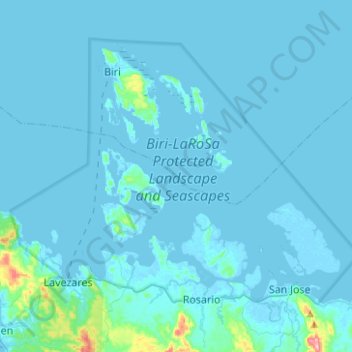
Name: Biri Larosa Protected Landscape and Seascape topographic map, elevation, terrain.
Average elevation: 39 ft
Minimum elevation: -13 ft
Maximum elevation: 889 ft