
Apartaderos topographic map
Interactive map
Click on the map to display elevation.
About this map
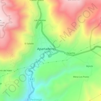
Name: Apartaderos topographic map, elevation, terrain.
Location: Apartaderos, Municipio Rangel, Mérida, Venezuela (8.77970 -70.87401 8.81970 -70.83401)
Average elevation: 11,873 ft
Minimum elevation: 10,531 ft
Maximum elevation: 13,455 ft