
Garabekewül topographic map
Interactive map
Click on the map to display elevation.
About this map
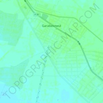
Name: Garabekewül topographic map, elevation, terrain.
Location: Garabekewül, Lebap Region, Turkmenistan (38.45926 64.13470 38.49274 64.17581)
Average elevation: 692 ft
Minimum elevation: 679 ft
Maximum elevation: 702 ft