
Bohmte topographic map
Interactive map
Click on the map to display elevation.
About this map
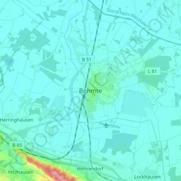
Name: Bohmte topographic map, elevation, terrain.
Location: Bohmte, Landkreis Osnabrück, Nedersaksen, 49163, Duitsland (52.32668 8.27354 52.40668 8.35354)
Average elevation: 164 ft
Minimum elevation: 131 ft
Maximum elevation: 502 ft