
Kahala küla topographic map
Interactive map
Click on the map to display elevation.
About this map
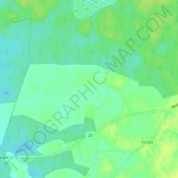
Name: Kahala küla topographic map, elevation, terrain.
Location: Kahala küla, Järva vald, Järva maakond, 72504, Estonia (58.89565 25.76787 58.92481 25.83689)
Average elevation: 246 ft
Minimum elevation: 226 ft
Maximum elevation: 272 ft
Other topographic maps
Click on a map to view its topography, its elevation and its terrain.