
East Chapman topographic map
Interactive map
Click on the map to display elevation.
About this map
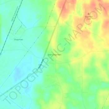
Name: East Chapman topographic map, elevation, terrain.
Location: East Chapman, Butler County, Alabama, 36033, USA (31.64571 -86.71664 31.68571 -86.67664)
Average elevation: 305 ft
Minimum elevation: 240 ft
Maximum elevation: 400 ft