
Wilson Island topographic map
Interactive map
Click on the map to display elevation.
About this map
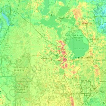
Name: Wilson Island topographic map, elevation, terrain.
Location: Wilson Island, Groveland, Lake County, Florida, 34755, USA (28.27194 -82.11730 28.91194 -81.47730)
Average elevation: 95 ft
Minimum elevation: 13 ft
Maximum elevation: 312 ft