Geolocate

Watou topographic map

Click on the map to display elevation.

About this map
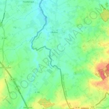
Name: Watou topographic map, elevation, terrain.

Location: Watou, Poperinge, Ieper, West Flanders, 8978, Belgium (50.81291 2.59863 50.87766 2.67783)

Average elevation: 82 ft

Minimum elevation: 20 ft

Maximum elevation: 213 ft

Gear up for your next adventure:

🎒Day Hiking Backpack - Lightweight backpack perfect for day trips and outdoor adventures
🦶Carbon Trekking Poles - Reduce knee impact on steep descents with ultra-light poles
🧭Map Reading Tools - Tools and kits for map navigation
🪓Survival Multi‑Tool - Versatile tool for camp and trail tasks
🛡️Bear Spray Outdoor - Protection in bear country hikes

As an Amazon Associate, this site earns from qualifying purchases at no extra cost to you.