
Honjo topographic map
Interactive map
Click on the map to display elevation.
About this map
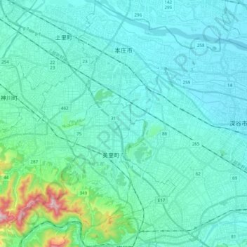
Name: Honjo topographic map, elevation, terrain.
Location: Honjo, Préfecture de Saitama, Japon (36.11871 139.05684 36.27475 139.24760)
Average elevation: 302 ft
Minimum elevation: 98 ft
Maximum elevation: 1,716 ft