
Enta topographic map
Interactive map
Click on the map to display elevation.
About this map
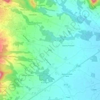
Name: Enta topographic map, elevation, terrain.
Location: Enta, Cumiana, Torino, Piemont, 10040V, Italy (44.94761 7.38062 44.98761 7.42062)
Average elevation: 1,030 ft
Minimum elevation: 902 ft
Maximum elevation: 1,424 ft