
Rayalapur topographic map
Interactive map
Click on the map to display elevation.
About this map
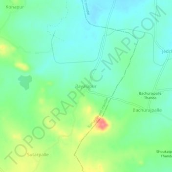
Name: Rayalapur topographic map, elevation, terrain.
Location: Rayalapur, Ramayampet mandal, Medak, Telangana, 502102, India (18.08103 78.47596 18.12103 78.51596)
Average elevation: 1,726 ft
Minimum elevation: 1,647 ft
Maximum elevation: 1,906 ft
Other topographic maps
Click on a map to view its topography, its elevation and its terrain.