
Arrowbear Lake topographic map
Interactive map
Click on the map to display elevation.
About this map
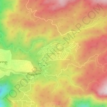
Name: Arrowbear Lake topographic map, elevation, terrain.
Average elevation: 6,325 ft
Minimum elevation: 5,010 ft
Maximum elevation: 7,264 ft
Other topographic maps
Click on a map to view its topography, its elevation and its terrain.
Running Springs
United States > California > San Bernardino County > Running Springs
Running Springs, San Bernardino County, California, 92382, United States
Average elevation: 5,433 ft
Fredalba
United States > California > San Bernardino County > Running Springs
Fredalba, Running Springs, San Bernardino County, CAL Fire Southern Region, California, 92382, United States
Average elevation: 5,075 ft