
Andlermühle topographic map
Interactive map
Click on the map to display elevation.
About this map
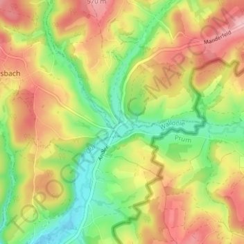
Name: Andlermühle topographic map, elevation, terrain.
Location: Andlermühle, Büllingen, Verviers, Luik, Wallonië, 4782, België (50.29152 6.26806 50.33152 6.30806)
Average elevation: 1,640 ft
Minimum elevation: 1,391 ft
Maximum elevation: 1,896 ft