
Jumunuco topographic map
Interactive map
Click on the map to display elevation.
About this map
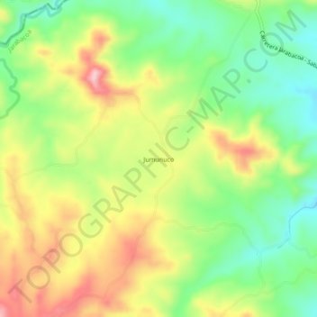
Name: Jumunuco topographic map, elevation, terrain.
Location: Jumunuco, Jarabacoa, La Vega, República Dominicana (19.12238 -70.74996 19.16238 -70.70996)
Average elevation: 2,431 ft
Minimum elevation: 2,133 ft
Maximum elevation: 2,802 ft