
Bougara topographic map
Interactive map
Click on the map to display elevation.
About this map
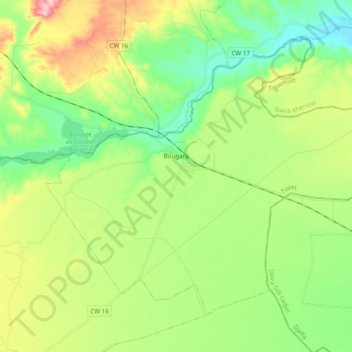
Name: Bougara topographic map, elevation, terrain.
Location: Bougara, daïra Hamadia, Tiaret, Algérie (35.48397 1.89163 35.60778 2.08485)
Average elevation: 2,779 ft
Minimum elevation: 2,523 ft
Maximum elevation: 3,264 ft