
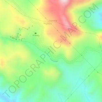
Cumbemayo topographic map
Interactive map
Click on the map to display elevation.
About this map
Name: Cumbemayo topographic map, elevation, terrain.
Location: Cumbemayo, Magdalena, Cajamarca, Perú (-7.19786 -78.58157 -7.19116 -78.55651)
Average elevation: 11,742 ft
Minimum elevation: 11,214 ft
Maximum elevation: 12,411 ft
Other topographic maps
Click on a map to view its topography, its elevation and its terrain.