
Bukit Tabur West topographic map
Interactive map
Click on the map to display elevation.
About this map
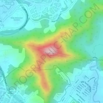
Name: Bukit Tabur West topographic map, elevation, terrain.
Location: Bukit Tabur West, Gombak, Selangor, 53100, Malaysia (3.23692 101.73875 3.23702 101.73885)
Average elevation: 492 ft
Minimum elevation: 197 ft
Maximum elevation: 1,266 ft