
Haldensleben topographic map
Interactive map
Click on the map to display elevation.
About this map
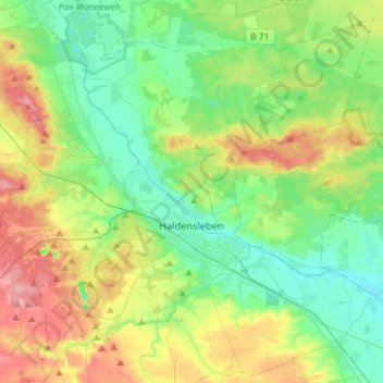
Name: Haldensleben topographic map, elevation, terrain.
Location: Haldensleben, Börde, Saxe-Anhalt, 39340, Allemagne (52.22680 11.26284 52.38637 11.55067)
Average elevation: 266 ft
Minimum elevation: 148 ft
Maximum elevation: 502 ft