
Mormont topographic map
Interactive map
Click on the map to display elevation.
About this map
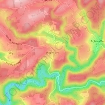
Name: Mormont topographic map, elevation, terrain.
Location: Mormont, Bastenaken, Luxemburg, Wallonië, 6666, België (50.12581 5.69891 50.16581 5.73891)
Average elevation: 1,243 ft
Minimum elevation: 912 ft
Maximum elevation: 1,437 ft