
San Pedro de Coris topographic map
Interactive map
Click on the map to display elevation.
About this map
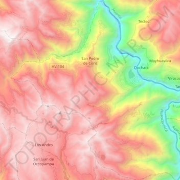
Name: San Pedro de Coris topographic map, elevation, terrain.
Average elevation: 11,555 ft
Minimum elevation: 6,168 ft
Maximum elevation: 15,226 ft