
Tönning topographic map
Interactive map
Click on the map to display elevation.
About this map
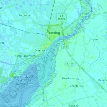
Name: Tönning topographic map, elevation, terrain.
Location: Tönning, Northern Friesland, Schleswig-Holstein, 25832, Germany (54.26060 8.82231 54.34420 8.96542)
Average elevation: 7 ft
Minimum elevation: -10 ft
Maximum elevation: 39 ft